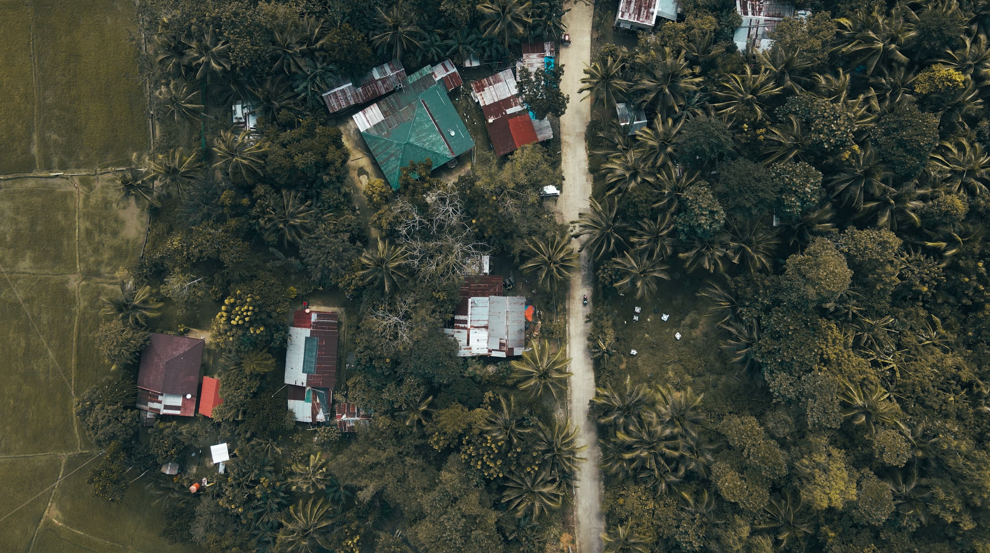
Micro-Satellite Data: Measuring Impact from Space
Satellites are mobile, remotely controlled communications systems that orbit the planet, capturing imagery and other data for transmission back to Earth. While satellites can provide relatively high-resolution imagery of the entire globe, historically they have been operated by government agencies and a small number of companies. The instruments themselves traditionally cost between $200 and 500 million dollars, and leverage billions of dollars of public sector investment in research, development, and maintenance. Access to imagery has thus been available to a limited set of organizations, including government space agencies, research institutions, and corporations with the analytic capacity to use satellite data for business intelligence and decision-making.
In recent years, there has been a rapid trend towards small private organizations sending their own satellites into the sky. Because these are much smaller in size, have shorter life cycles, and much lower upfront costs (as little as $30,000), they are often referred to as micro-satellites. The idea is that, instead of spending millions of dollars to send a single large satellite into space, one can send a large number of micro-satellites into orbit, effectively increasing coverage of the Earth. These micro-satellites may offer less coverage of the earth, at lower spatial resolution. But they provide more frequent image capture, at much lower cost. This approach is revolutionizing the field, providing greater access to data than ever before.
Micro-satellite data holds particular promise for global development organizations—especially those involved in environmental conservation, natural resource management, human settlements and humanitarian response. It is also becoming a useful tool for poverty mapping. Yet this potential is not realized without substantial technical challenges. The intent of this review is to:
- Outline the possibilities and limitations of using micro-satellite imagery for the implementers of global development programs;
- Sketch the landscape of imagery providers, and help organizations understand which features to consider when comparing different satellite products;
- Highlight examples of successful applications of satellite data in social, economic, and environmental interventions; and
- Project future trends in the use of micro-satellite imagery for monitoring and evaluation.


