Goldilocks Case Study: One Acre Fund: Measuring Yields From Space
One Acre Fund: Measuring Yields from Space
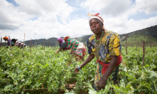
A substantial proportion of the world’s poor are smallholder farmers, and measuring their productivity is a basic first step in understanding where livelihoods are improving (and where additional help is needed). Unfortunately, comprehensive data on farmers’ productivity do not exist. They are collected piecemeal by researchers and governments in limited areas of the globe, and over limited periods, typically using household surveys which are both expensive and time consuming.
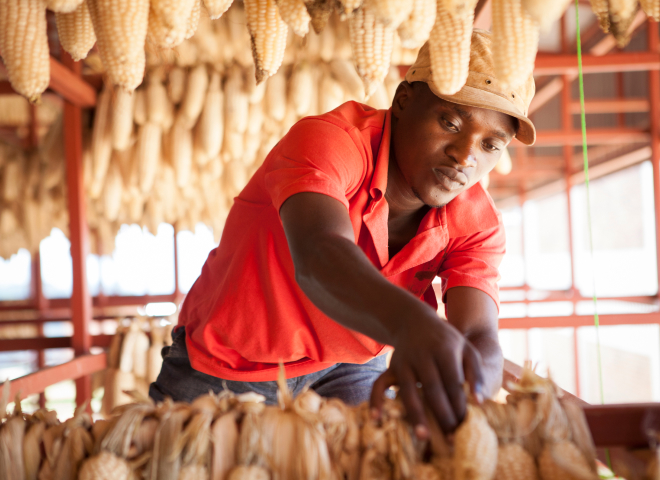
One Acre Fund (1AF) is a social enterprise working with such farmers in East Africa. 1AF’s mission is to address long-standing barriers to farmer productivity. 1AF provides seeds and fertilizers on credit, delivers agricultural inputs within walking distance of farmers’ homes, trains farmers on how to use inputs most effectively, helps them store their crops safely, and links them to local traders to provide access to markets. This comprehensive approach is geared towards maximizing farm profitability.
Like many organizations, 1AF is eager to demonstrate and improve the impact of its programs. To track its progress, the organization relies essentially on field surveys. They assess productivity gains by comparing the costs of farmers’ agricultural inputs to the market value of outputs (and for the latter, 1AF manually weighs a small portion of farmers’ harvests). In 2015, 1AF weighed over 16,000 harvests across four countries.
Despite recent M&E revamping efforts – staffing up each country office with a dedicated person, equipping field surveyors with tablets, and reducing selection bias in the identification of control groups– 1AF is continuously looking to professionalize its evaluation practices. More efficient M&E practices would enable an increase in sample sizes (providing the capacity to look at a broader set of plots within and outside the organization’s programs) and would help strengthen the link of causality between 1AF’s intervention and its impact. Since field surveying is particularly time-consuming, expensive, and prone to measurement errors, 1AF is always looking for new methods for generating actionable data faster, cheaper, and more accurately.
Technology Solution
A large body of research has shown that satellite imagery can provide accurate estimates of crop yields for large farms in both the developed and developing world. Yet attempts to expand this work to the much smaller plot sizes in East Africa have been hampered by a lack of high-resolution imagery, and by a lack of geo-referenced ground-level data needed to calibrate and test remote sensing methods.
Instead, traditional estimates of farmer- and field-level yields have been obtained from ground surveys that are a) expensive to conduct; b) difficult to follow up on; and c) prone to measurement errors, such as recall bias among respondents. Currently, 1AF relies primarily on crop cuts, which constitute the least biased and most reliable estimate of harvests. Crop cuts over small areas are not ideal because farmers’ fields are not homogenous: one part may be extremely rich and productive, while another area may be overcrowded and stressed. Nevertheless, with a large enough sample and random placement, crop cuts are a very robust way to estimate program impact by comparing 1AF and comparison farmers.
This case study explores the use of satellite imagery to predict yields on small-holder plots. With an increasing number of start-ups and larger companies commercializing satellite imagery over the past couple of years, the quality and volume of imagery has substantially increased. This has generated more accurate and scalable images at an increasingly accessible cost. At the same time, unprecedented large-scale surveying efforts currently underway in certain parts of the developing world offer a unique opportunity for groundtruthing remote sensing estimates.


